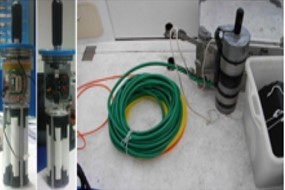
Currently, hydro-meteorological forecast systems use land-based stations to obtain hydrological and meteorological observations. But in many parts of the world data is unreliable - or missing. The global availability of remote sensing datasets on precipitation and land surface parameters - such as soil moisture, vegetation state, surface temperature or snowpack - coupled with land surface and hydrologic models, offers a unique capability to improve predictability of water cycle and its extremes. However, uncertainties and sampling constraints in space-based observations, combined with modeling uncertainties, limit reliability. Research in my group is centered on a systems-based approach to water cycle predictability, bridging earth observations, models and methods across climate science, hydro-meteorology, the environment, and recently infrastructure security and risk management. Specific active research themes are highlighted below.
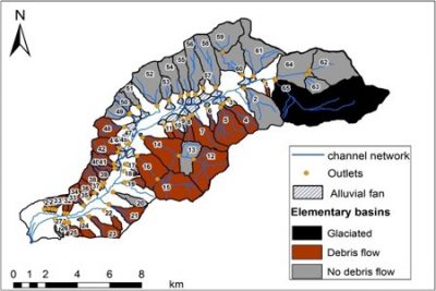
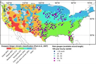
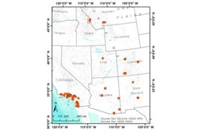 Predicting post-fire debris flow occurrence
The probability of post-fire debris flow occurrence in the western United States has been developed based on machine learning techniques
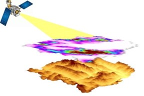 Characterization of Satellite-based Precipitation Uncertainty over Complex Terrain
Practice of satellite-based precipitation products over mountainous areas, which has a great impact on society, highly depends on advancing the quality of primary data source, one of which is PMW retrievals.
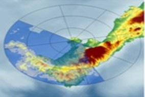
The use of short-range dual polarization X-band radar gives the advantage of multiparameter measurements near ground that carry significant information, useful for estimating drop size distribution (DSD) and rainfall rate.
